The Way of the Roses
In 2023 I took a shorter, two and a half day, cross country trip on the Way of the Roses Cycle Route from Morecambe to Lancaster.
Individual Posts:
You can read about the whole trip in one go on this page, or if you’d prefer you can read the individual posts from each of the days of the trip using these links:
- Way of the Roses Day One – 1 August 2023
- Way of the Roses Day Two – 2 August 2023
- Way of the Roses Day Three – 3 August 2023
The Whole Trip:
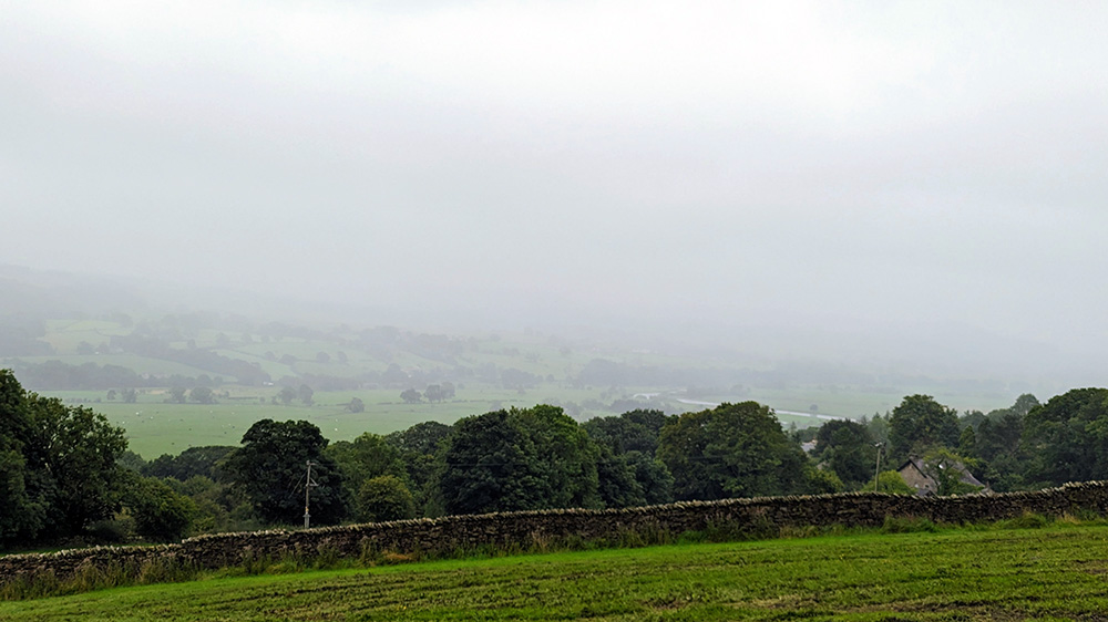
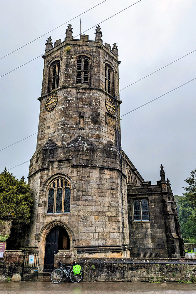
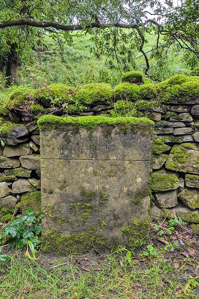
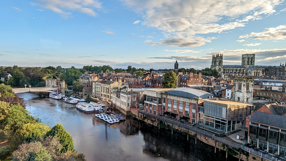
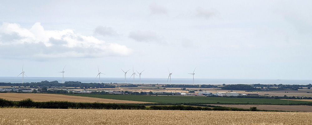
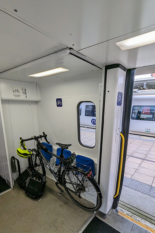
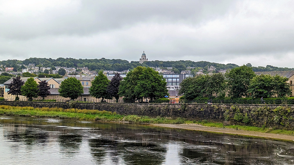
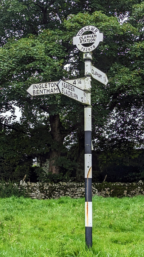
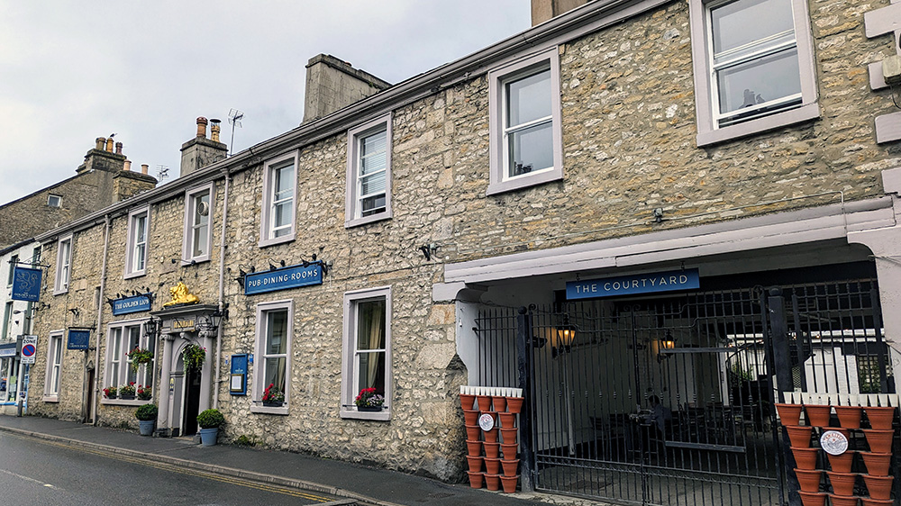
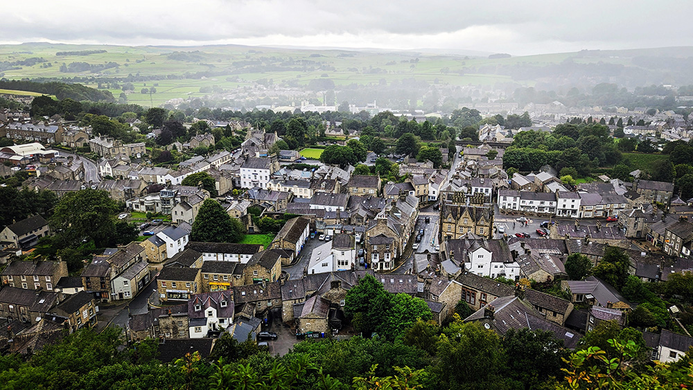
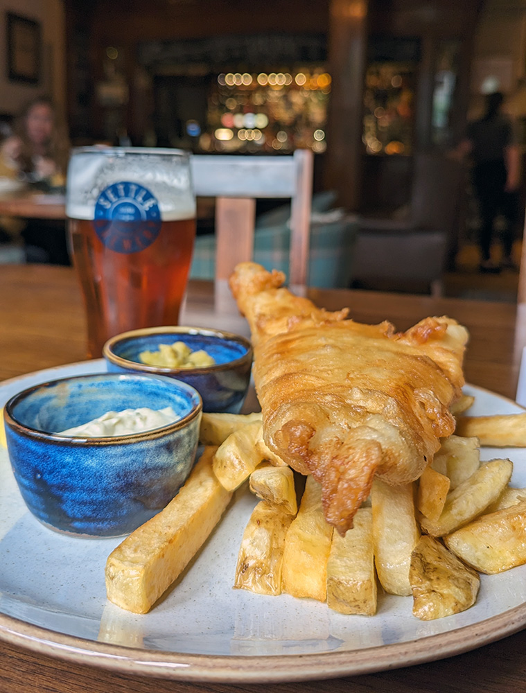
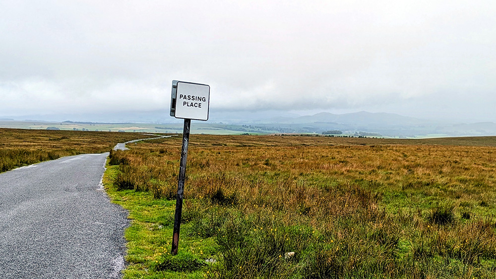
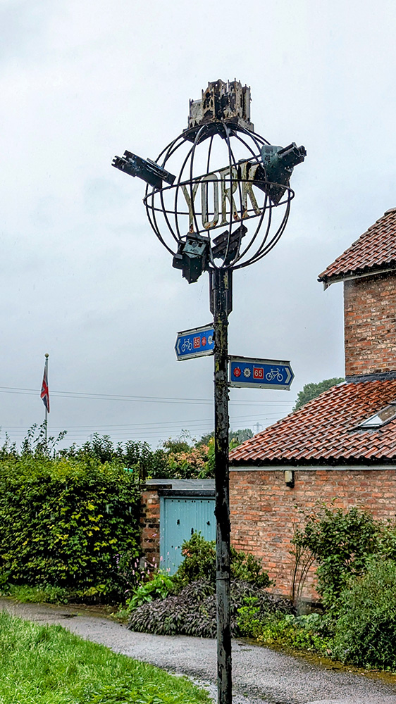
It’s been a while since I’ve sat down to start one of my posts about a multi day cycle ride. My last such trip was in 2018 when I cycled around some of the many battlefields of Belgium and France. In 2019 I went for a walk instead of a cycle, along Hadrians Wall. Covid curtailed any tentative touring plans early in 2020, and 2021 saw me move from the South Coast at Hastings to Teesdale in the North Pennines. I hadn’t made any firm plans to get out and about again in 2022 before I managed to lose control of my bike downhill and around a corner onto some loose gravel on a short ride after work on my birthday. That left me spending five days in Darlington Memorial Hospital with a broken collarbone, ten broken ribs, and a small fracture on my left hip. All in all not the best birthday ride. I started riding again in the new year, on the indoor trainer at first but eventually back outdoors. I added a mountain bike to the garage which has been a real boon for getting out and about in bad weather. Its an awful lot slower that being on the carbon fibre road bike, but much safer on the fatter tyres. I also enjoyed the recuperation period by increasing my bike maintenance skills. My touring bike was in major need of an overall so I spent the downtime replacing the chain, front and rear casettes and derauillerurs, the cranks and bottom bracket, brake arms and pads, the shifters and all associated cables. With the touring bike all refreshed, it only seemed right to think of venturing out on an, albeit slightly shorter than previous trips, multi day tour. A few possible routes came to mind but I settled on the coast to coast “Way of the Roses” route between Morecambe and Bridlington. I already had the guidebook and the travel should be fairly easy from my new base in the north. I planned a route starting with the longer train journey to Morecambe on day one with a shorter ride to Settle in the afternoon that day. And that’s the day that this post is all about. Having packed the night before (using the same basics as my previous multi day trips, but taking things a bit lighter having learned lessons from over packing in the past) I was up early on the Tuesday morning. I took the dog for a walk and then put everything into/onto the car and drove across to Darlington station. Fortunately everything train related ran smoothly. First up was a train to Leeds. The Cross Country train didn’t have the best bike storage but there was a space. I sat on the luggage racks rather than my booked seat to ensure that the bike didn’t come loose from its less than ideal strapping, but all was ok. I only had ten minutes in Leeds to make my connection (though there was a backup later train if I missed it) but we arrvied into Leeds on time and I was easily able to make it up and over onto the next platform where the Northern rail direct service to Morecambe was already waiting. This time I was able to strap the bike in a bit better and settle into a seat where I could relax whilst keeping an eye on the bike. It was then a steady and uneventful journey across the country arriving on time into Morecambe. Before I got going properly I rode out to the seafront, found the Eric Morecambe statue where I took my turn to pose in the traditional style (another group of people doing the same kindly took the lovely picture you see here of Eric and I), and then along the front to the Stone Jetty and pulled into the Stone Jetty cafe for a bit of lunch before starting off. Ready to go, I double checked everything on the bike and rode to the far end of the pier. There was nowhere to easily dip the wheel into the water so I just started off from the end of the Jetty, pointed my front wheel eastwards, and set off. The first few miles were the flattest of the whole route, following an old railway line towards Lancaster. Having made into that city, and across the Lune on the Millenium Bridge, I took a short detour off the route. I had spent some time in the second half of the 1990s occassionally working for the then Lancaster University Archaeological Unit. I took a short detour up towards the castle (which was still an operational prison back then) to find the old office building and a few other landmarks (mostly pubs) in that part of town. I did remember where things were, but the distraction quickly wore off and I headed back down to the river and picked the route back up where I had left it. The route continued following the South bank of the Lune as it headed inland and upstream although the river remained largely hidden by the trees lining both sides of the former Lancaster to Wennington railway line. The railway path was quite popular with walkers and cyclists so I continued to take it nice and steady until, having passed the former station at Halton, we came to the Crook O’Lune. After crossing the river once, but before the second bridge cutting across the Crook, the Way of the Roses route leaves the railway line and transfers onto quiet roads for the next few miles. After 8 miles of largely flat riding it was time to start climbing for the first time on the ride. A quiet lane through Halton Park has a 350 foot climb over three miles; nothing too strenous but certainly noticable after the previously flat riverside riding. Once on top of the hill, with the Lune valley opening up down to the right of me, the rain started. It was fairly light at this point but threatened getting heavier. A few easy miles got easier as the road headed back down towards the river; crossing the Lune again on a lovely old stone bridge just before entering Hornby. With the rain increasing, and an interesting looking church to step into, I pulled over in Hornby for a quick break. The church was nice, though writing this a month or two after the event I don’t recall anythign particularly exciting inside it. So I had an energy gel, put my coat on, and headed back on my way. For the next 18 miles the road continued to slowly climb back up along some pretty, open roads. Not too much further on and a big roadside stone marked the boundary of the parishes of Bentham and Tatham, and with it the boundary between Lancashire and Yorkshire. At only 21 miles into a 170 miles tour I was leaving the Red Rose behind and it would all be White Rose from this point on. As we moved into Yorkshire and continued to climb, the roads seemed to get gradually narrower but also more open as thick hedgerows gave way to dry stone walls and open moorland. Between Clapham and Austwick a sign welcomed me to the Yorkshire Dales National Park. Into the Dales and past Austwick the climb got a lot steeper on single track roads for another couple of miles, eventually reaching the high point of the day (c900 feet) after almost 34 miles riding. The final three and a bit miles gave a nice chance to relax on the way down into Settle. I rode into the town centre and parked up at The Golden Lion pub; my base for the night. I was shown to the secure bike store and then up to my room. I showered and put on my off bike clothes and went to explore Settle; wandering around the town and down to the famous railway station, and up to to Castleberg Crag to get a look at the town from on high. With the legs properly cooled down I headed back to the pub for a few pints of Settle Bitter and a glorious plate of Fish and Chips before heading to a very comfortable bed. Stats: Next Up: The Wettest Day on Two Wheels Despite a very comfortable bed in a lovely room, the sound of the rain outside the window of the Golden Lion had been creeping into my sleep throughout the night. It was still sounding heavy when my alarm went off. I got dressed into my cycling gear, half loaded the bags and headed downstairs for an excellent full breakfast. It was probably too much to have just before heading out into the hills that were going to be immediately in front of me. It was very good though. I went back upstairs, finished getting myself ready, listened to the rain a bit more, and braced myself to head out into the wet and onto the hills. As anticipated, it wasn’t long before I started climbing. I had pulled out of the Golden Lion, taken a couple of right turns around the town square, and was on the edge of the hills within about 1/4 mile. There was no gentle start. The gradient quickly headed into double figures and to add to the fun there is a nice stretch of cobbles as the road rises. The cobbles soon gave way, but the hill just got steeper. There would be about 750 feet of climbing ahead of me in around two miles. That would be tough in any situation but add in and it wasn’t going to be easy. When touring I try not to beat myself up too much if I have to get off and walk at any point, but it would have been nice for that to happen a little bit further into the day. The first 2.5 miles would end up taking me 35 minutes – not much faster than walking pace. I was in the saddle more often than I was pushing, but probably not by much. Eventually the road levelled out and I knew that the next 5 or 6 miles would be largely downhill. It was a huge relief but it was still wet and windy and the views from the tops were not as stunning today as I imagine they can often be. Coming down was lovely riding to start with, but as things levelled off again, the roads got wetter and wetter with puddles crossing ever further across the width of the carriageway. Not long past the small village of Calton things got wetter still. A short downhill section led me with little warning to a completely flooded section of road. With a long enough days riding ahead of me; not wanting to have to double back to add even more miles to the ride; having already got to the point of wet that a little more probably wouldn’t hurt; and with just a little bit of gung ho/sod it in me, I powered on and kept pedalling through, hoping that there wouldn’t be any hidden rocks or potholes, and praying I could keep going to avoid having to get off and wade. I made it. A car at the other end of the flooding had watched my progress and elected to make a u-turn. Shortly afterwards I came to the hamlet of Winterburn. That’s Winterburn. Presumably named for the river that normally only shows itself in the winter months. Yet here it was in early August and the burn was not merely visible, but close to bursting its banks. The way continued through Hetton and Cracoe, into ever narrowing lanes and into Thorpe before heading down towards Burnsall and a beautiful bridge crossing the River Wharfe. Crossing one of the major rivers of the Yorkshire Dales could only mean one thing. Time to start climbing hills again. The climb from Burnsall up to Greenhow Hill takes you to the highest point on the Way of the Roses route. The difference in elevation between summit and river valley is greater than the climb out of Settle; however it occurs over almost twice the distance. It’s not without some very steep sections but it was nothing like as brutal and has plenty of easier stretches of road allowing for recovery between the sharpest sections. It was a long slog though, and for the last mile or thereabouts the route joins the B6265. It’s not a particularly busy road, but much more so than any point in the ride up to this point. The final drag up takes you past Stump Cross Caverns. It might have been nice to be able to stop and go caving, but I was still only a fraction of the day done and quite well behind where I would have liked to have been by this time so I carried on. The hill continues, albeit it a much reduced gradient, a short way further to the watershed between Wharfdale and Nidderdale. I bet there are some lovely views from here. But for me all I could see was the cloud I was riding in. It was a relief to see the start of the downhill, although that soon tempered as the descent gets steeper and steeper. I was having to balance between keeping the brakes on to slow the descent, whilst preventing the blocks from overheating. At the bottom of the hill, on the western edge of Pately Bridge I pulled over by a bakery and a garage for a short break. I climbed off the bike, squelching as I did so. I looked back up the hill. I was glad not be heading up it. I dragged my soggy carcass into the bakery for a decent slab of flapjack, and then filled up my water bottles at the garage next door. I didn’t fancy starting to get cold, and the garage forecourt was not the prettiest so I pulled my right leg back over the crossbar and headed back on my way. The main part of Pately Bridge looked to be a rather pretty market town. However it was also busy with traffic, narrow, and climbed up away from the river valley with enough of a gradient to allow me such that I could feel the growl of the impatient cars behind me. I kept on as quickly as I could manage. It was nice therefore, approximately a mile beyond the town centre, to see the signs pointing me back onto some quiet country lanes. There was more climbing to do, but other than one short stretch at Smelthouses where the legs complained and forced a short walk, it was routine enough riding up the hill, then hang a left, and head towards the next (and final) summit by Brimham Rocks. Brimham Rocks is a beautiful and wonderful (National Trust) site of stunning natural rock formations. I’ve been on a few occasions but not for over 20 years. On a better day I would have risked adding a further delay to proceedings but the weather was grim again and the low clouds would only have damaged my fond memories of the site. On. On. At least I had now all but completed the climbing for the day and I had a largely downhill run in to Ripon where I was planning to stop for lunch. Fountains Abbey is another fantastic National Trust property and in this instance the route passes straight through the estate. I had been here a few weeks earlier and had revelled in the beautiful landscapes. Today it was all just grey. A herd of deer were sitting, disconsolately but appropriately, by the road in the Deer Park. I pulled over to take a picture, but on taking my phone out of my pocket it was so wet I couldn’t persuade the touchscreen to work to take a picture. I had to rely on using the GoPro instead. The phone situation made me realise just how wet I had now become so pressed on through the final few miles into Ripon. Arriving in the town centre I forsook looking around for a nice local coffee shop but headed straight for the Caffe Nero I could see in front of me. I found a table (and a leather sofa which would be comfortable but probably wouldn’t appreciate how wet I was) and got a hot sandwich, a massive coffee, and a big slab of something cakeish. It was good to get warm and be out of the increasingly hard rain for a bit. I wasn’t going to get dry, but I wasn’t getting any wetter. Though eventually I knew I’d have to get moving again. From here though I was onto the edge of the Vale of York and it would be all level riding for the rest of the day. First I had to get out of Ripon. Navigation was easy enough, but at one point the route follows an older, largely abandoned road which has been cut in two by a more recent bypass. As well as dividing the houses either side of the main road, it’s other purpose was apparently to cause flooding on the old way. Much like the earlier section, I came upon the flood water with no notice and decided to push on. This time though something underwater did knock me off stride enough for me to lose balance and put one foot down straight into the water. It did demonstrate that I was right in thinking I couldn’t get any wetter though as there didn’t really appear to be any difference between my fully submerged right foot and the rest of me. Despite the extra watering I was still enjoying the riding and though the rain was still a constant, the wind had eased off by now and with the flatter roads of the Vale the miles started finally to tick off at a decent pace. On the way to Boroughbridge there were two points of note: 1. The route passed a couple of times underneath bridges of a disused railway line. Unlike the majority of closed lines which tended to be smaller services, the Leeds to Thirsk line was clearly a much more major route with big old solid bridges remaining. 2. I had now got so wet that every time I shifted in the saddle there was not only an unpleasant squelching noise but a channel of water would run off the Lycra and down my leg. Crossing the A1 and passing through Boroughbridge would see a change in direction toward York which lay to the South East. In the pretty village of Aldborough I initially rode past the signs to the site of the Roman Town. After a hundred yards or so of passing the sign however I thought that I should probably actually get off the bike and go and see something as so far I had just kept riding. I turned around, doubled back, and rode up the hill on the west of the village to the English Heritage site. It was shut. Despite the opening hours sign which suggested otherwise. I guess the custodian had decided that nobody was coming out to see it in that weather. I can’t really blame them if that was the case, but it was a bit of a shame. I shall just crack on then. Although the change in direction, and coming off the Dales and into the Vale had made it feel like I was almost done, I still had 20 miles to go. The next few miles I was also taking a bit of a gamble. I was aware that the toll bridge at Aldwark was closed for major repairs. The semi official diversion would add an extra five miles which I could do without. I had spotted an alternative foot bridge not far upstream from the toll bridge which could be reached by a path along the side of a golf course. If it didn’t work out however, the five mile diversion would become 10 or more. Fortunately as I squelched my way towards the closed bridge, I found the path and followed it along the river. It is on the grounds of the golf course and cycling was probably frowned on. However I confess that I made an equation: Too wet and wanting to just keep moving + (evidence that the path had been used by golf buggies x nobody foolish enough to be outside playing golf to stop me) = I cycled to the bridge Crossing the Ouse felt like I was getting close to York at last and was on a (long) homeward straight. The remaining miles were quite uneventful and went quickly. Through Beninbrough Park (another National Trust site), past the Edinburgh 200 Miles sign on the East Coast Mainline, and finally onto the riverside cycle/footpath that would lead me the final few miles into the City of York. It was great to be on familiar territory and to be so close to done for the day. To see the Museum Gardens to my left and then be crossing Lendal Bridge and onto Tanners Moat. I was done. The 75 wettest miles I’ve ever ridden. Home for the night was to the place that to me will always be The Viking Hotel. Nowadays it’s the Radisson, but for my three university years in the city my local pub was across the road so it was a familiar site that I never went into. Something I could finally put right. The staff guided me to the staff car park where I could lock the bike up, and then I checked in and made my way to my room. I had a splendid room on the 8th floor overlooking the south side of the city across the part of the town that I had known so well for those years. I had a shower and used the hangers to hang up my cycling gear in the large shower cubicle. I doubted that they would be dry in the morning, but they had a fighting chance at least. Warm and dry and in dry clothing I made my way into the City to meet up with one of best and loveliest friends Nicky, who had remained living in York after we graduated in 1994. We had a lovely evening having some great food in Marzano’s Grill, sandwiched with a couple of visits (and probably one pint too many) in the Blue Bell Inn. At the end of the evening, with the world put to rights and a liberal dosing of reminiscing I said farewell to Nicky and headed back to the hotel and a good night’s sleep. Stats: Next Up: Brighter to Bridlington After the persistent rain of the previous day, it was a pleasant surprise to open the curtains of my 8th floor bedroom in the Radisson in York to be greeted by a bright and cheery day. The same view as yesterday evening looked even more stunning with a blue sky. I started to get myself ready. My cycling gear from yesterday was still wet. Fortunately I had two sets with me; and though I was putting back on the clothes from Day One, they were dry (and only a little bit stinky – day one was a shorter day’s riding after all). The wet gear got double bagged (I’d picked up some bin bags the previous morning in Settle. Past experience of a wet day riding between the Somme and Agincourt had taught me the value of double bagging). With most of my kit ready, I headed downstairs for another excellent breakfast – admiring the even more stunning view across the Minster from the elevator lobby. Breakfast was good; though apparently not as good as the one from the Golden Lion in Settle as I didn’t photograph it. Either that or I was so hungry I just wolfed it down. After a quick retreat to the room to finally gather everything up I headed downstairs to check out and collect my bike from the secure staff parking area, then loaded it up and got ready to set off. There are few better places to start a cycle ride than going through the heart of medieval York. I headed past the Minster and up through Goodramgate and out of Monkgate Bar. I was so happy to be cycling through the city gates that I was 100 yards through them when I realised my cycle computer was flashing to warn me that I was off route. I wasn’t actually supposed to have ridden through the bar so I had to double back and ride through it a second time! Back on the correct route I left the City by crossing over the Fosse and found my way onto the former York to Beverley railway line. A mix of railway path and quiet roads and farm tracks would take me through Dunnington and into Stamford Bridge. More flat country lanes led me nice and steadily on towards Pocklington. I was taking it easy but the riding was easy and lovely. It was so much nicer to be out and about in clear blue skies. Pocklington would mark the start of riding into the Yorkshire Wolds. It was also going to be biggest settlement I’d be in for a while so I decided to stop for a second breakfast. I pulled over at the first place I came across, Swirlz Gelato. I parked up, ordered a smoothie and a sweet crepe and settled down at an outside table. It was a good break and though barely two hours on since breakfast it was certainly a good choice. A short way after leaving Pocklington on one its busier roads, a turning to the left and onto country lanes marked the start of the Yorkshire Wolds. The fields started to open up and the road rolled up and down (mostly up) into Millington and slowly and gradually onward and upwards. Around a corner the views opened up further to reveal a lovely valley ahead and the road dropped down to meet its floor. From the valley bottom I now started to follow it back uphill. The climbing was largely gentle and never beyond mildly steep; although the valley on either side rose up steeply; reminding me of the chalk hills of Wilshire and Sussex I’ve spent so many years riding up. I was briefly distracted by some fine looking highland cattle but got on my way and climbed up and out of the back of Millington Dale. At the top, the landscape flattened back out into wide rolling views as I headed through Huggate and onwards towards Tibthorpe. Somewhere along this stretch a small but threatening looking cloud lived up to expectation as it opened up right above me with a sharp but short shower. I stopped to put my rain jacket on; and stopped again only another mile or two further on to take it back off again as the cloud passed over and the sun came back out. I passed through Tibthorpe and into Kirkburn, and that was the Yorkshire Weald done and dusted. There was one last set of small hills before the coast, but the Weald had been the last proper set of hills of the whole trip and they had been steady going, but tackled without incident. From Kirkburn its only about 4 miles into the centre of Driffield by the most direct route. However that route is along the busy A614 and so the Way of the Roses takes a detour along some country lanes in a loop to the south of the town, adding an additional 6 miles riding. These miles were pretty close to pan flat across some open arable land and pretty easy going, albeit with a fair breeze from the north west which the twisty turning route did head into for a fair part of the way. At a junction before Hutton Cranswick the Way of the Roses joins with cycle route NCN1. NCN1 was a regular part of my riding in Kent when living in Sussex as it starts at the Port of Dover and heads around the Kent North and then northwards up the country. I’ve encountered it in a few other places, most notably in the North of Scotland and Orkney. I’d love to complete the full distance of the route all the way to the very top of Shetland; even if done in stages over many years. Adding a few miles of the route in Yorkshire was therefore something of a bonus. At Hutton Cranswick, and again on entering Driffield, I’d also cross the Bridlington to Hull line on level crossings for the first two times. The last few miles from Skerne into Driffield were a bit tougher on account of being almost fully into the wind, but I kept pedalling and soon found myself turning into the Driffield main drag on a lively market day. I found a bench at the top end of the high street, got a sandwich and some pop from a bakers and had a pleasant rest watching the world go by whilst sitting under some colourful, ornamental, umbrellas. I enjoyed the rest but chivvied myself along into getting back onto the bike. I still had another 20 miles or thereabouts before I’d see the sea including one last final set of hills (even if they were the lowest on the route). The route leaves Driffield heading east on a fairly busy road so I made the most of a shared footpath/cycleway alongside the route towards the pretty village of Nafferton at which point the route heads south again and over a third level crossing. Before too long a couple of left hand turns put me back northwards on an even quieter road bearing signs that the (fourth) level crossing ahead was closed to traffic. It is, but not to pedestrians or cyclists. Once across the railway line again a couple of right hand turns around Harpham had me heading on another even more forlorn road to the fifth level crossing (cyclists and walkers only again) before almost immediately turning left onto a more open road and over the sixth (and final) level crossing; the last four of which had been crossed within 6 miles. The final level crossing brought me into Burton Agnes and the start of the final set of hills. Some brown tourist signs at Burton Agnes suggested a couple of historic attractions in the form of a Hall and a Manor House. I stopped to look them up online and was pleased to see that the Manor House was a free to enter English Heritage property so I diverted into the car park to take a look. The advertising was a bit misleading. It is a ‘free’ EH property, but only if you pay to go into the hall in the grounds of which it sits. I didn’t have the time to properly get value for money on such a visit so I sadly headed back on my way and up into the final set of hills before the coast. The climbing wasn’t difficult but I was quite tired now so it was also far from easy but I steadily made my way up the short climb to the ridge and onto the Roman Road heading towards Bridlington and Flamborough Head. The map shows a lot of potentially interesting historical and archaeological sites in this small area so I will have to come back another time and explore the area. Heading East along the ridge I got my first look at the North Sea and the East Coast. The end was visible but I still had a few miles to go. Those are the hard miles when you know you’re almost there but not quite close enough. They passed slowly but pleasantly until the final descent to Bridlington. Within Bridlington itself the route takes as long as possible to find a way to get you to the sea front. It is actually less than 2 miles from the Old Town around residential streets before suddenly arriving at the sea front. It felt longer. Once on the prom, the sign marking the end of the ride appeared and I was happy to pull up and mark the ride from Morecambe as complete. Well, almost complete. There was the small matter of riding back across town, this time along the prom and past all the seafront rock and tat stalls, arcades, and chip shops back to the rather pretty station. I had made it back a couple of hours before my booked train so I decided to pay for an earlier alternative and was soon settled onto the train, passing over the same six level crossings and through Hull to York, and then on to Darlington to the car and back home. Stats:Back on Tour







The Wettest Day on Two Wheels



Brighter to Bridlington


