…and Deal
A few weeks after coming back from my ‘Four War Tour‘ in Belgium and France and I was ready to tackle my next big day ride. I wasn’t planning on anything too adventurous and nothing that would take me far from some of regular riding routes. The aim for the day would be to explore the old coal mining area of Kent; I’d been close before on the previous trips to that part of the county, but I was less aware then of the geographical details of Kent’s coalfield locations and had skirted past some of the key sites.
I was up fairly early and on the road from home at about 8.30am. Leaving Hastings by climbing out of town on the main road at rush hour is never ideal but I’m used to it now and I don’t have to go too far before turning off onto the quiet lane to Pett village. I’ve used this route for a couple of years now as my default way out East. When I first started riding around here 5 or 6 years ago I would follow NCN Route 2 out of town and down Battery Hill through Fairlight. However the road surface on that big steep hill is now so awful I don’t feel safe on it. Although that is the higher class road and the one used by bus service to Rye, it remains dangerous whilst the quiet country lane through Pett has been recently resurfaced and is a joy to ride along; joining the main road on the flat by the Western end of the Royal Military Canal at Pett Level.
The wind was nicely behind me as I headed along the sea front; firstly behind the sea wall between Pett and Winchelsea Beach and then on the edge of the beach itself through to Rye Harbour. Up, into, and through Rye. Join the Royal Military Road next to the Canal, still with wind assistance, and then continue on the flat through to Appledore.
After the flat of the canal I hung a left through the village centre and up into the low rolling hills on this North East corner of the Weald through Woodchurch (its church is made of stone). On the climb out of there I stopped to remove my base layer; the day was warm now and I wasn’t going to be needing it now. That gave enough time for a small club ride to come up past me and having stripped, redressed, and got back under way I slotted in at the rear of their group for a mile or two towards Shadoxhurst where I swung off towards Ashford.
Ashford is a town that I greatly admire for its provision of cycle paths. It’s not the prettiest town but it has an excellent network with only one minor issue; on an all too regular basis the cycle paths and foot paths swap sides. One minute you’re cycling on the left; next you turn a corner and you’re supposed to be on the right. However it wasn’t that confusion that led to me riding into a bollard. I was looking out to see if I was right in thinking that there was a shop nearby where I could get some more water. There was but I was looking around so much that I didn’t notice the great big chunk of metal in the middle of the path. It was a very slow speed impact and I think I got away without anyone noticing. It didn’t stop my riding for the day. In fact it wasn’t until another couple of weeks later when I tried to remove my front wheel to load the bike into the car that I realised that I had bent the central pin. I managed about another 1,000 miles before I finally got it fixed just last week; I just had to put a wrench into my saddle bag to make sure I could remove the wheel in case of punctures.
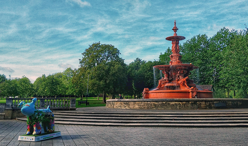
The mishap was at least of value though as I spotted the Tesco Metro I was looking around for and topped up on water and snacks and then headed back out of Ashford through the Northern side of the town in the direction of Wye.

The cycle route North East out of Ashford is one I’ve ridden a few times and very much enjoy. Either side of Wye some quiet and pretty back roads help the miles to tick nicely by. Wye itself is a pretty village with some good cafes. I didn’t stop at any of them today though, I still had too many miles planned left to ride.
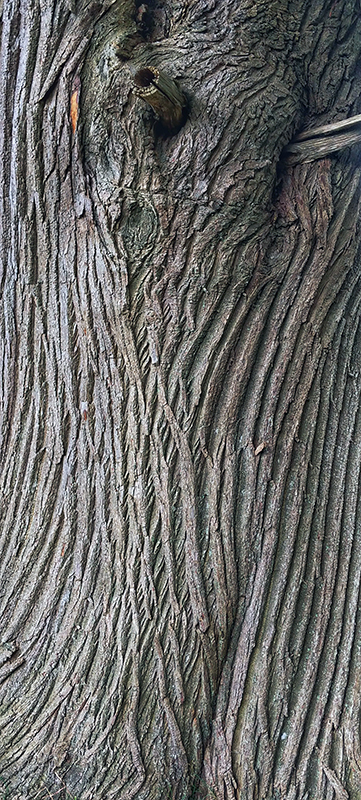
The cycle path continues following the roads for a few miles until they run out and the cycle route continues on a dedicated track along the side of the hill roughly following the route of the train line. After rising above the tracks, a small opening in the trees indicates that you have reached the lovely viewing spot at Catha’s Seat. The seat, with built in bike rack storage (not being used by me in the picture below!) is a memorial to Catharine Keegan who was involved in the setup of this cycle route from Ashford to Keegan. I did not know Catha and have no connection to her but always like to rest here and raise a water bottle in her honour; the bench is a lovely spot on a great little cycle path.
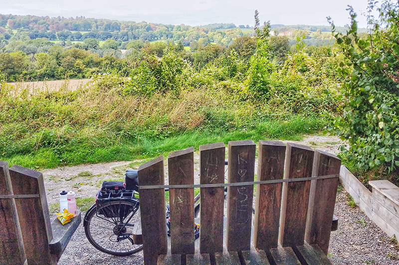
The path now starts to drop back down to the valley and into and through Chartham where you join the riverside path next to the Great Stour. The next couple of miles must be (on a good day; and I’ve only experienced good riding here) amongst the most bucolic on the National Cycle Network as it winds next to the lovely clear waters through the water meadows.
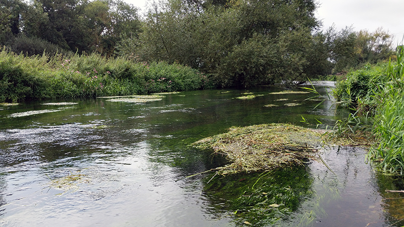
On the approach into Canterbury I turned back and headed out along a narrow and quiet lane back alongside the railway lines. I was aware of a special treat for rail nerds along this lane but, until today, I had never investigated it. What is it? Well – just watch my lovely video!
Having played on the railway tracks long enough I headed back into Canterbury. Today, other than pausing briefly to bemoan the continuing deterioration of the state of the Castle, I rode straight through the city, heading out South Eastwards having joined cycle route number 16 which crosses the North Kent Downs in the direction of Dover. I wasn’t planning on following that route too far however.

I followed it across the open land to Patrixbourne and then on towards Aylesham. However rather than following the route which skirts around the latter village I headed in to explore it as this was one of the places that I had come to see. Aylesham was developed in the 1920s to accommodate workers coming into work at the new coal mines that were being opened in Kent around that time. It was associated with the nearby Snowdown Colliery. It was planned to grow to hold around 30,000 people but only about 1,000 houses were ever built for the colliery as the Kent seams never proved as profitable as hoped.
I rode into the village, stopping to get some supplies for lunch at the One Stop on the way, and then rode into the small park in the centre of the village. I sat on one of a number of benches that commemorated the mining community.

A part of the pit workings in the park with some notice boards tell the story of the mine and the village. Having seen me looking at the boards a gentleman came out to speak to me ask ask what I knew of the village. I told him that I was (fairly recently) aware of the Kent Coalmines and Snowdown in particular and had wanted to come and get an understanding of what remained of the pits and the village that had been left behind. He had been a miner here up until its closure in 1987 (he was still wearing an old miners T-Shirt). He didn’t want to tell me any stories of his own but wanted to make sure that I was aware of the legacy and the story of the village. He also pointed me in the direction of the miners memorial garden in the village council offices on the edge of the village. I was pleased to hear what he would tell me and could have happily sat and heard his stories for longer had he been willing to share more.

Instead he headed back to the cafe he had been sitting in and I finished my lunch and loaded the remains back into my pannier.
I was very glad to have received his advice about the memorial garden. Had I not been made aware I would have passed it by unseen. The garden is only small but contains a new memorial to the lives of 57 men and boys who died during the 80 years that the colliery was active.
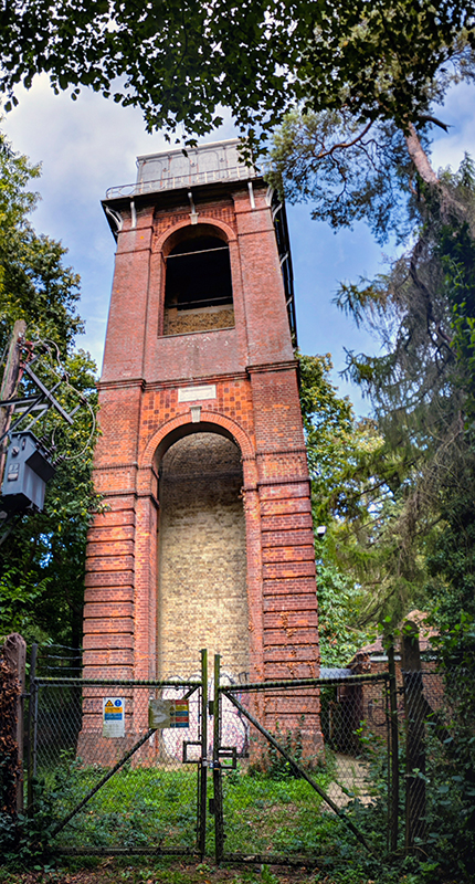
From the memorial garden I headed across the next valley and up the hill to Snowdown station and then came to the gates of the old colliery. Despite having been closed for 30 years now the majority of the above ground mine buildings (except for the pit head winding gear towers) remain intact. The mine shafts have been capped off and the compound surrounded with razor wire but you can still get an impression of the site; though not the conditions for the workers.
At over 3,000 feet at its maximum depth Snowdown was the deepest mine in Kent. It was also the hottest and most humid. Conditions were so awful that the miners often worked naked as clothes became too uncomfortable. Miners could get through 24 pints of water in an 8 hour shift and there were frequent cases of heatstroke. Snowdown was regarded by many to be the worst to work in throughout Britain and as a result of its heat and humidity gained the name amongst its workers of “Dante’s Inferno”.
After briefly considering an attempt at jumping over the fence to take a good look around (from some concrete bollards I could likely have jumped into the compound; but I wasn’t then going to easily make my way back out) I headed back on my way. I understand that there might finally be some plans to develop the land into something new; I hope that someone might look to run some tours around the site beforehand. I would love to see around inside.

From here rather than continuing towards Dover I turned East along the country lanes across the hills through Nonington and Northbourne before dropping down to the coast at Deal.

I have ridden through Deal many times, but before today I had never visited the Castle. I had made sure that I got here in plenty of time to rectify that today.
I rolled into the car park, locked the bike up and went in. The staff there were happy to look after my helmet and pannier whilst I wandered around. Deal Castle is probably the best surviving of Henry VIII’s coastal forts and as such is quite different from the classic view of what a medieval castle might look like. It was an entirely functional building with its petal layout designed to ensure that it had a complete 360 degree line of fire.
As well as never having visited the Castle I’d also never been onto the Pier in the town either. The English Heritage staff agreed to look after my kit for a bit longer and I made the short walk onto and along to the end of the pier.
The current pier is Deal’s third and was built with a concrete structure in the 1950s. Its been in decline lately and I found out afterwards that the main pier had only just re-opened before my visit. There was still much work to be done but progress looks to be getting made and I hope to revisit again soon and be able to get a coffee from the (at the time of my visit) closed cafe at the end and to be able to wander down to the lower deck (also closed).

After a walk around I made by way back to the Castle. Coming back I noticed the gap in the railing and then the car sitting in the bottom of the moat. Back into the castle the staff told me that the crash had occurred the previous Saturday just as the castle was about to close. Miraculously the driver had walked out of the car with only superficial injuries. I gathered my kit and returned to my bike for the very short ride to Deal Station where I ended my ride and waited for a train home. My legs were tired and I was feeling the effort. I certainly hadn’t been working in Dante’s Inferno though.

Stats:
- Distance: 74.00 Miles
- Ride Time: 5 Hours 14 minutes and 42 seconds
- Average Speed: 14.1 mph
- Ascent: 3,135 feet
- Strava: https://www.strava.com/activities/1834663737


